Daily Mean Inhalable Particulate Matter (PM10)
DATASET DESCRIPTION
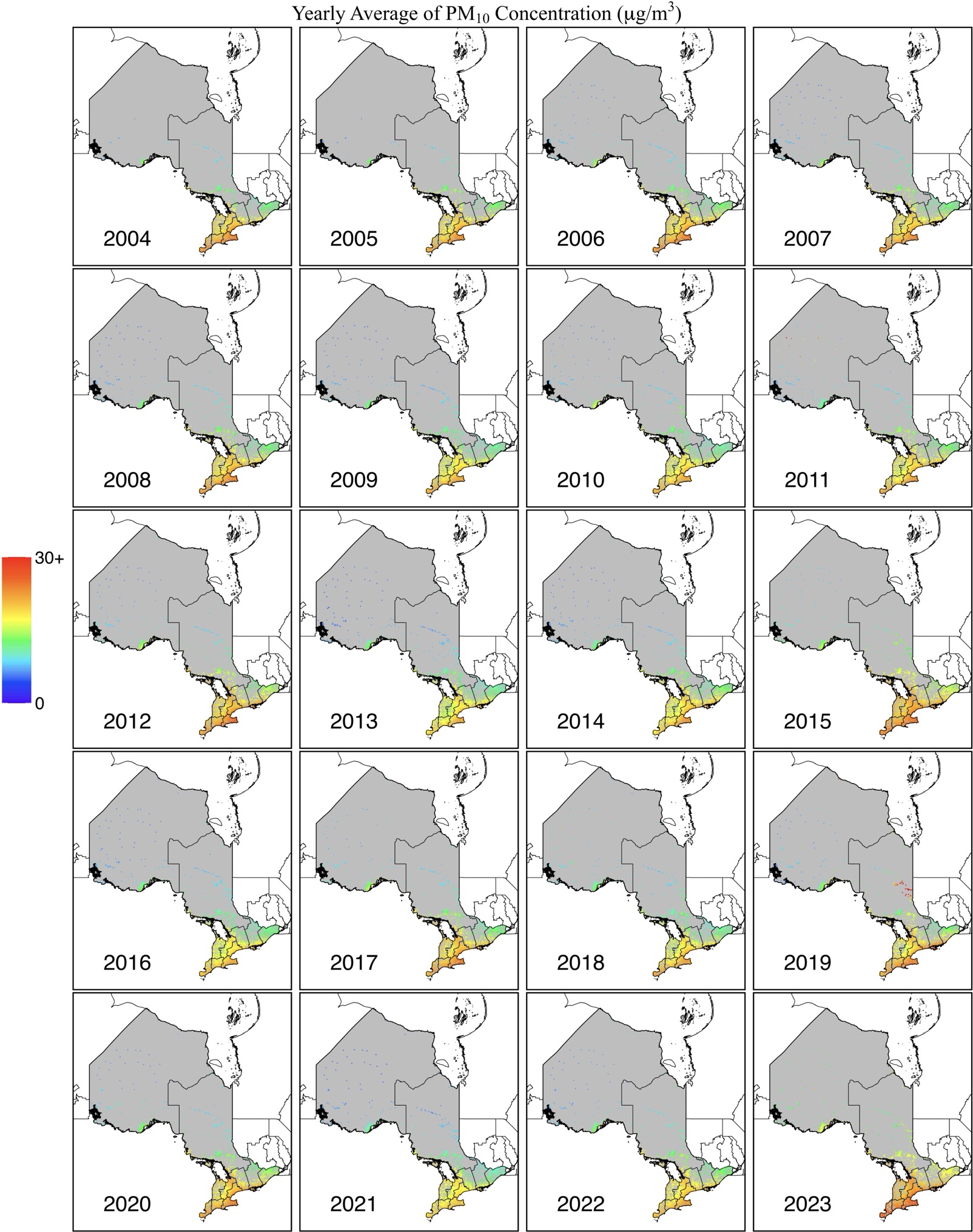
The inhaled particulate matter (PM10) over Ontario is now available at a daily resolution, with a full-coverage 0.01° x 0.01° gridded map, spanning from 2001 to 2023. This PM10 dataset was generated using a combination of multi-source satellite data, reanalysis, and ground-based measurements, modeled with a Light Gradient-Boosting Machine (LightGBM) model. Given the limited number of ground-based stations in Ontario, which constrains modeling accuracy, two key improvements were made to enhance the precision of the PM10 estimates. First, PM10 measurements from surrounding areas were used to provide an “initial guess” for PM10 levels in Ontario. Second, the data leveraged rich spatiotemporal information, incorporating data from adjacent grids and previous or following days, sourced from grid-based satellite and reanalysis data. The paper about the accuracy of the estimated PM10 data is in progress.
DATA SOURCE
| Data Sources: 41.7 – 56.9N, 74.3-95.2W |
| Coordinate System: GCS_WGS84 – EPSG:4326 |
| Spatial Resolution: 0.01° x 0.01° |
| Data Preparation Date: August 2023 |
| Data Format: in NetCDF |
| Sampling Frequency of Data: Daily |
| Years Available: 2004 to 2023 |
VARIABLES
- Daily average PM10 concentration in micrograms per cubic meter (μg/m3)
- Postal codes
CONTACT
- Dataset Creator: Zang Zou
- Email: joey.zang@mail.utoronto.ca
- Affiliated Organization: Ge-iSEE Lab, University of Toronto, Ontario, Canada