8 Hours Maximum O3 (8-h Maximum O3)
DATASET DESCRIPTION
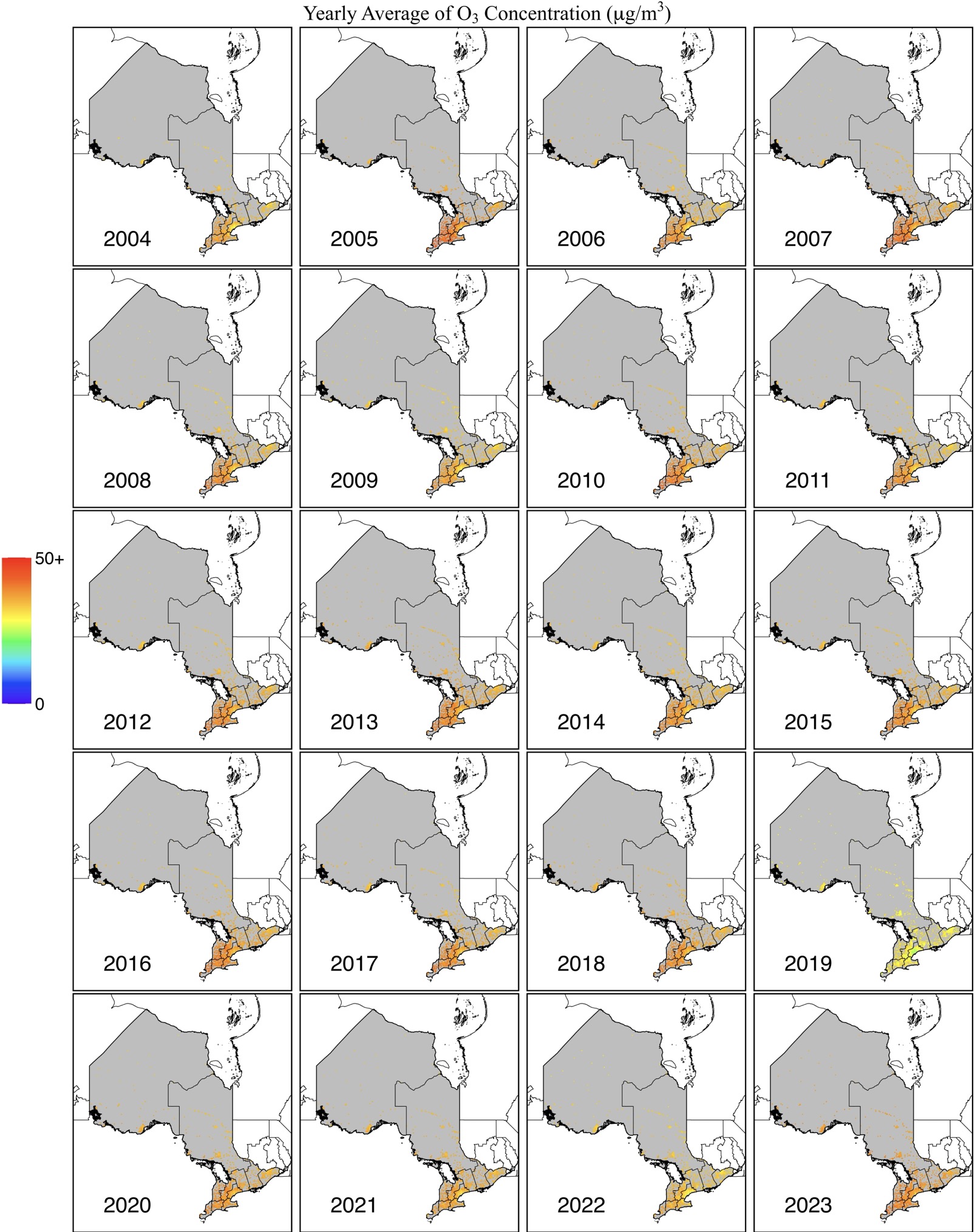
The daily concentration of Ozone (O3) over Ontario is now available at a full-coverage 0.1°x0.1° gridded map from 2004 to 2023. This dataset was generated using trusted reanalysis sources, including EAC4 (ECMWF Atmospheric Composition Reanalysis 4) and MERRA-2 (Modern-Era Retrospective Analysis for Research Applications, Version 2). Meteorological data from ERA5-land and ground-based measurements were used to train a Light Gradient-Boosting Machine, improving the accuracy of the O3 estimates. To overcome the limitations of Ontario’s sparse ground-based stations, additional O3 measurement stations from surrounding areas were used to provide an initial estimate for the region. Furthermore, spatiotemporal information from surrounding rids and adjacent days was utilized to refine the model, enhancing the precision of O3 concentration predictions over Ontario.
DATA SOURCE
| Data Sources: 41.7 – 56.9N, 74.3-95.2W |
| Coordinate System: GCS_WGS84 – EPSG:4326 |
| Spatial Resolution: 0.1° x 0.1° |
| Data Preparation Date: August 2023 |
| Data Format: in NetCDF |
| Sampling Frequency of Data: Daily |
| Years Available: 2004 to 2023 |
VARIABLES
- 8 hours maximum O3 concentration in micrograms per cubic meter (μg/m3)
- Postal codes
CONTACT
- Dataset Creator: Yi Zhang
- Email: yiy.zhang@mail.utoronto.ca
- Affiliated Organization: Ge-iSEE Lab, University of Toronto, Ontario, Canada